Defense
Missions
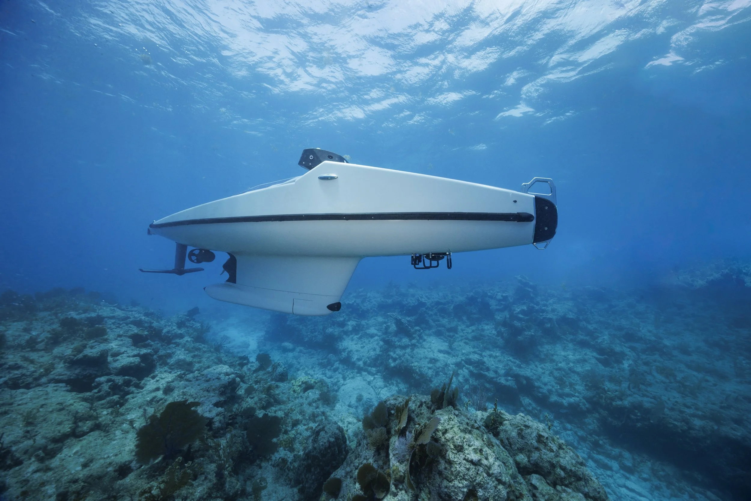
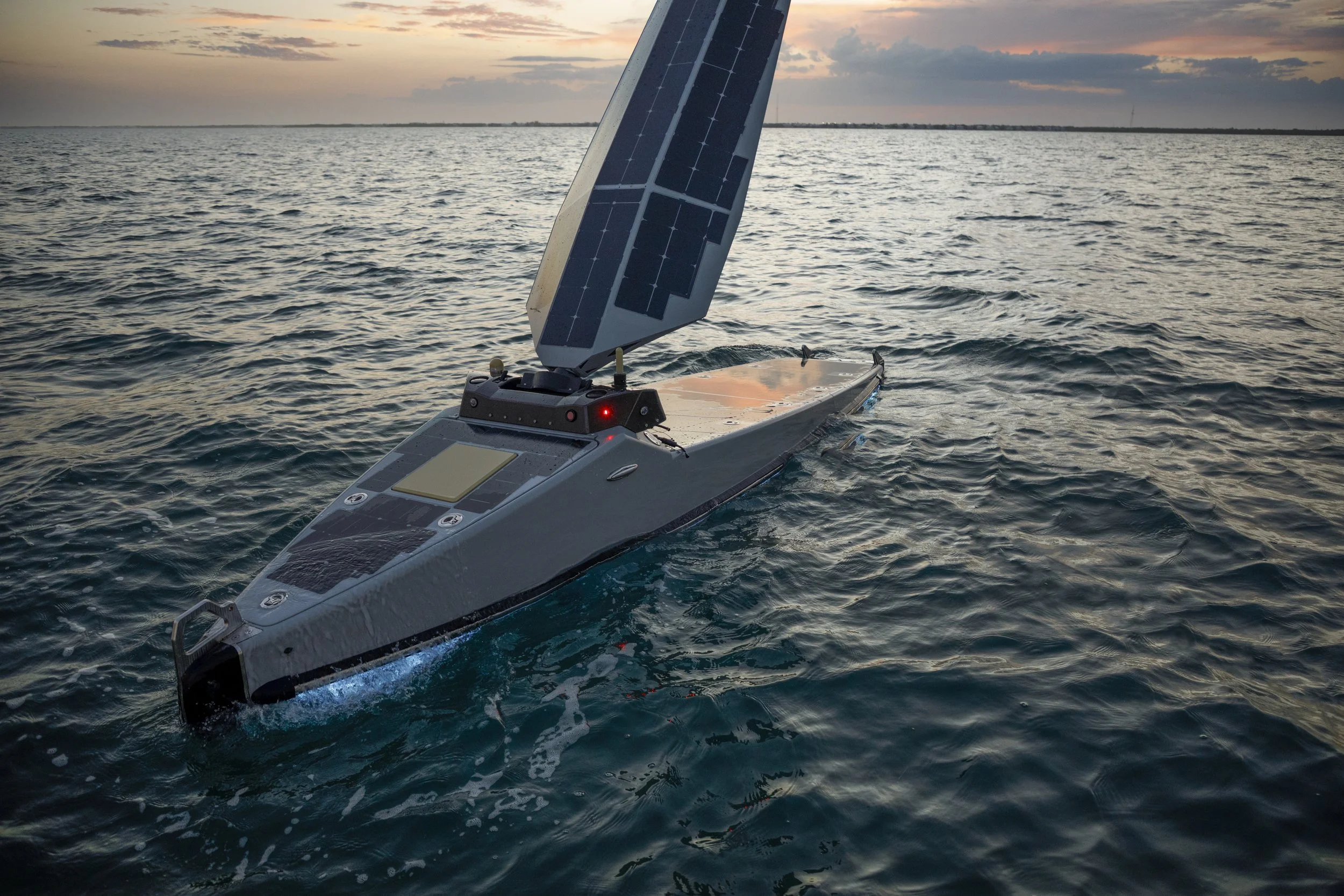
When the mission matters, persistence is everything. We partner with defense organizations to deliver autonomous maritime capabilities that expand operational awareness, increase endurance, and enable mission success in the most challenging environments.
-
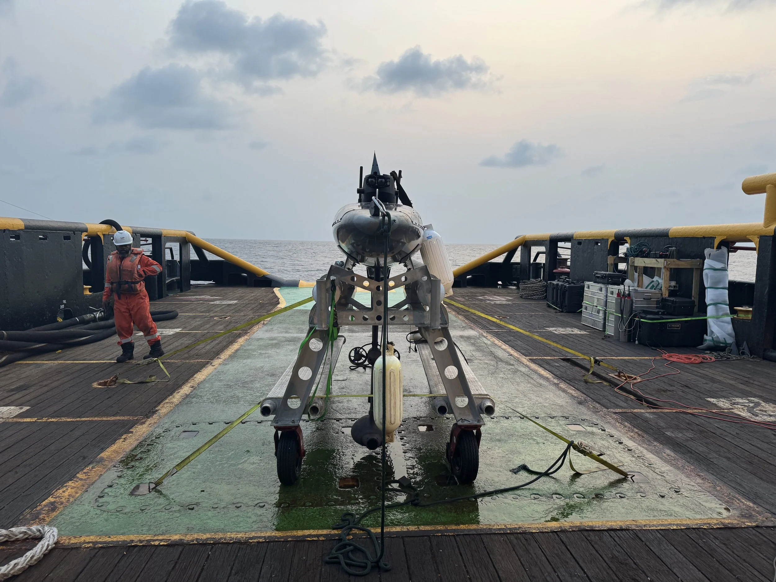
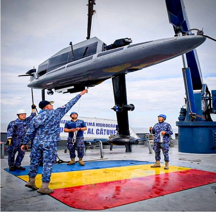
Autonomous launch and recovery
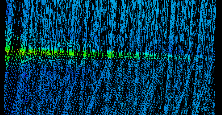
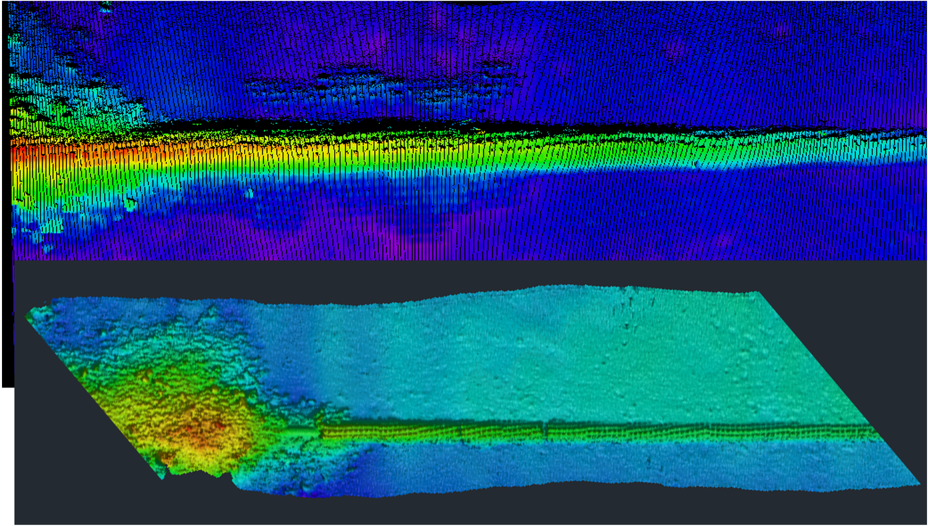
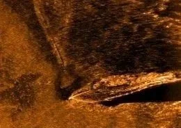
Wide-area, high-fidelity imaging of water column and seabed
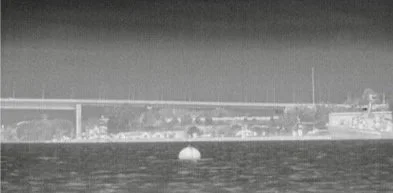
Thermal Imagery
Proprietary Neutralization Kit
Optional Tethered Floats
Onboard edge processing for real-time threat analysis
BLOS communications with secure, agile networking
Seamless integration with multiple COP systems
-
Extreme low light EO and IR Pan, Tilt, Zoom cameras and all-around 360° fixed camera array with Automated Target Recognition (ATR)
Obstacle avoidance/threat evasion capability
LEO communications
Proprietary Cavitating Propeller Acoustic Detection System (CPADS)
Robust edge processing capability
-
Passive acoustic detection
Edge processing capability
LEO communications
-
Tactical Software Defined Radio’s (SDR) to support SIGINT and EW applications.
Capable of both passive and active effects
Radar detection and emulation
Communication and telemetry signal generation and detection
Supportive of USSOCOM Modular Payload compliant systems.
Energy
Missions
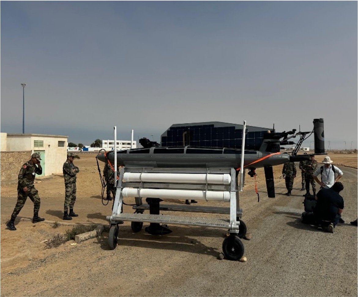
The future of offshore energy depends on smarter, more sustainable operations. We partner with energy organizations to provide autonomous maritime solutions that improve efficiency, reduce costs, and deliver the data needed to power informed decisions. And with both GOCO and COCO partnerships, we’ve got you covered either way.
-
Access shallow water corridors not accessible by traditional inspection vehicles (<20m water depth)
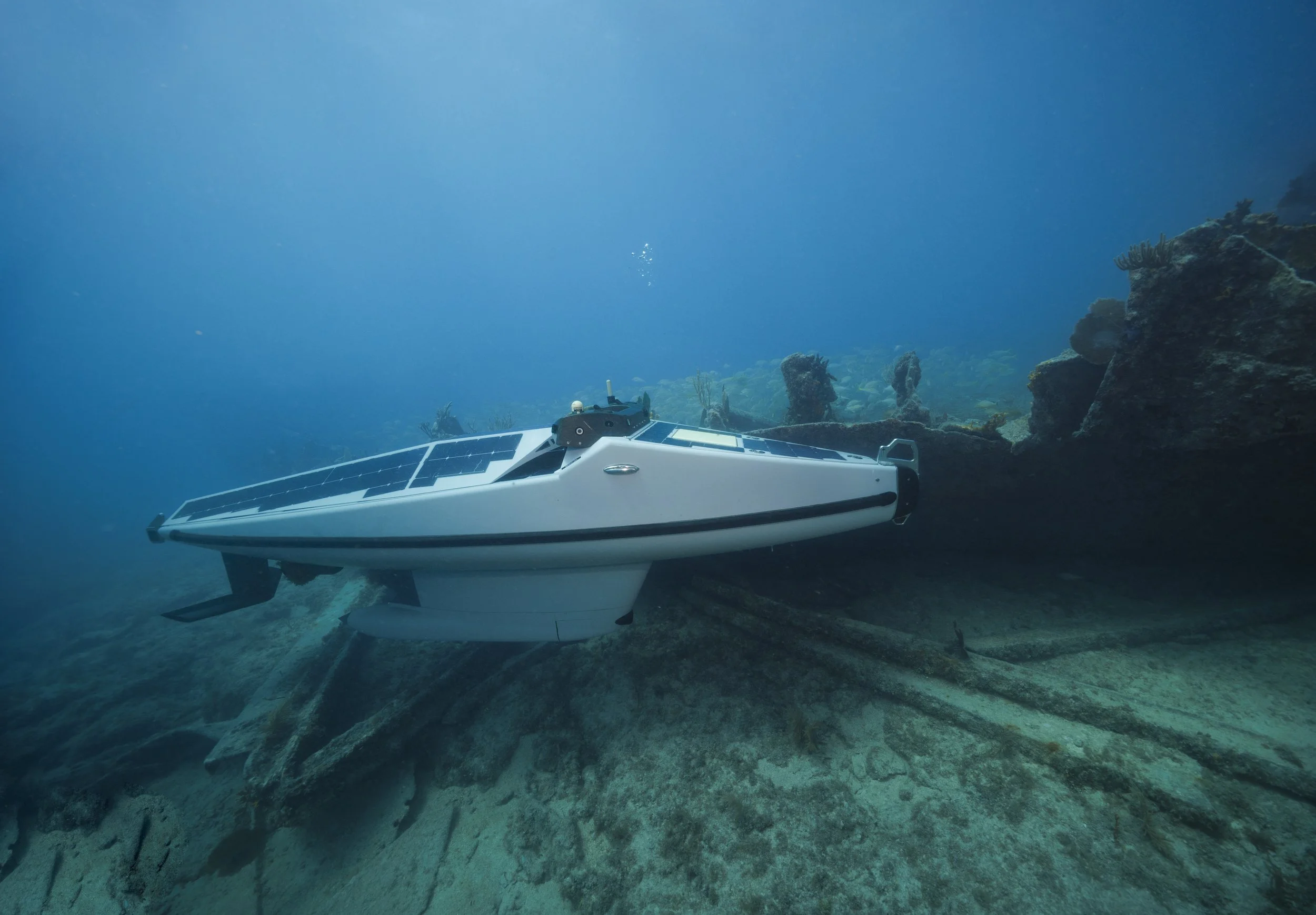
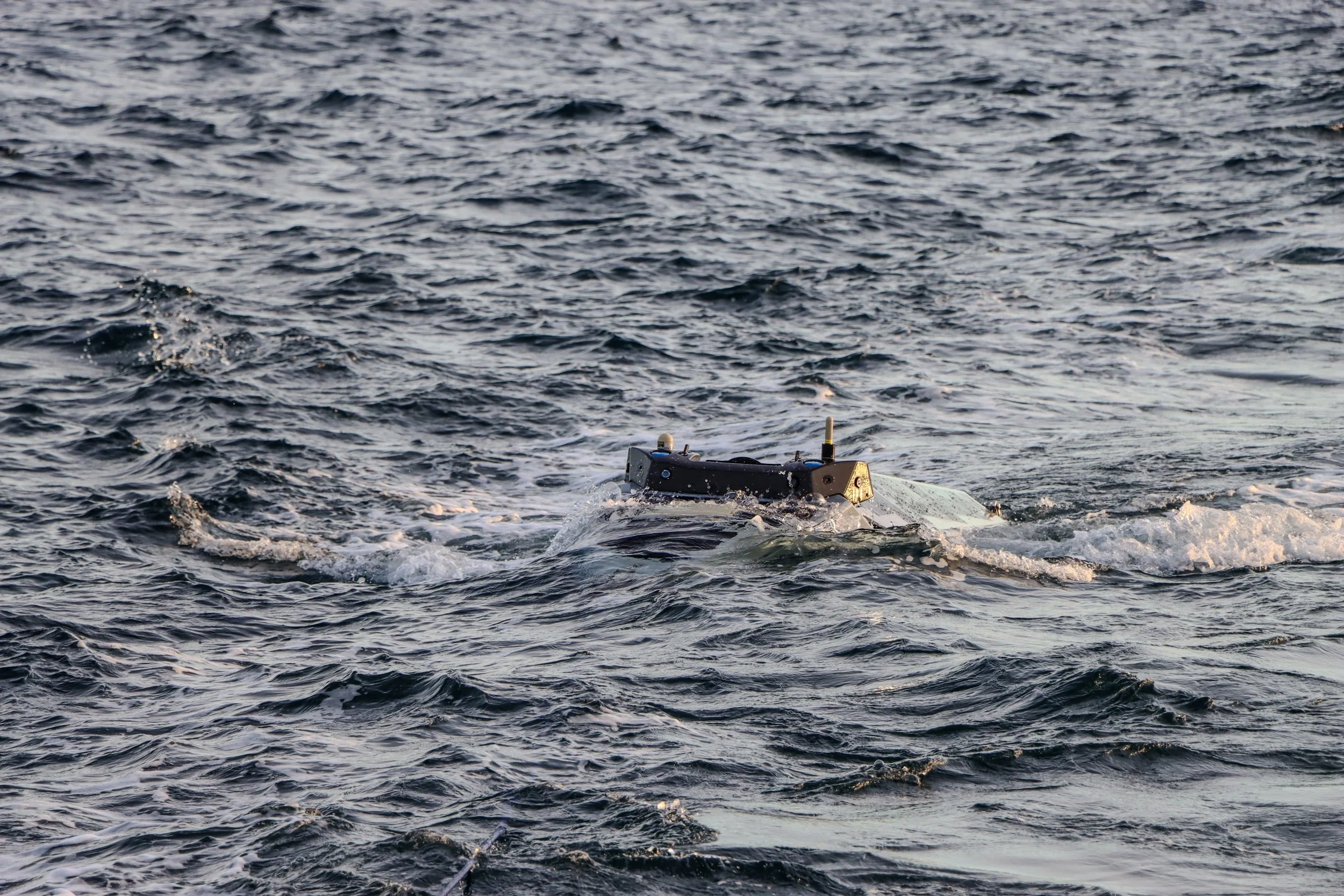
Operates from both the surface and subsurface, providing superior seabed and asset data images to make better decisions.
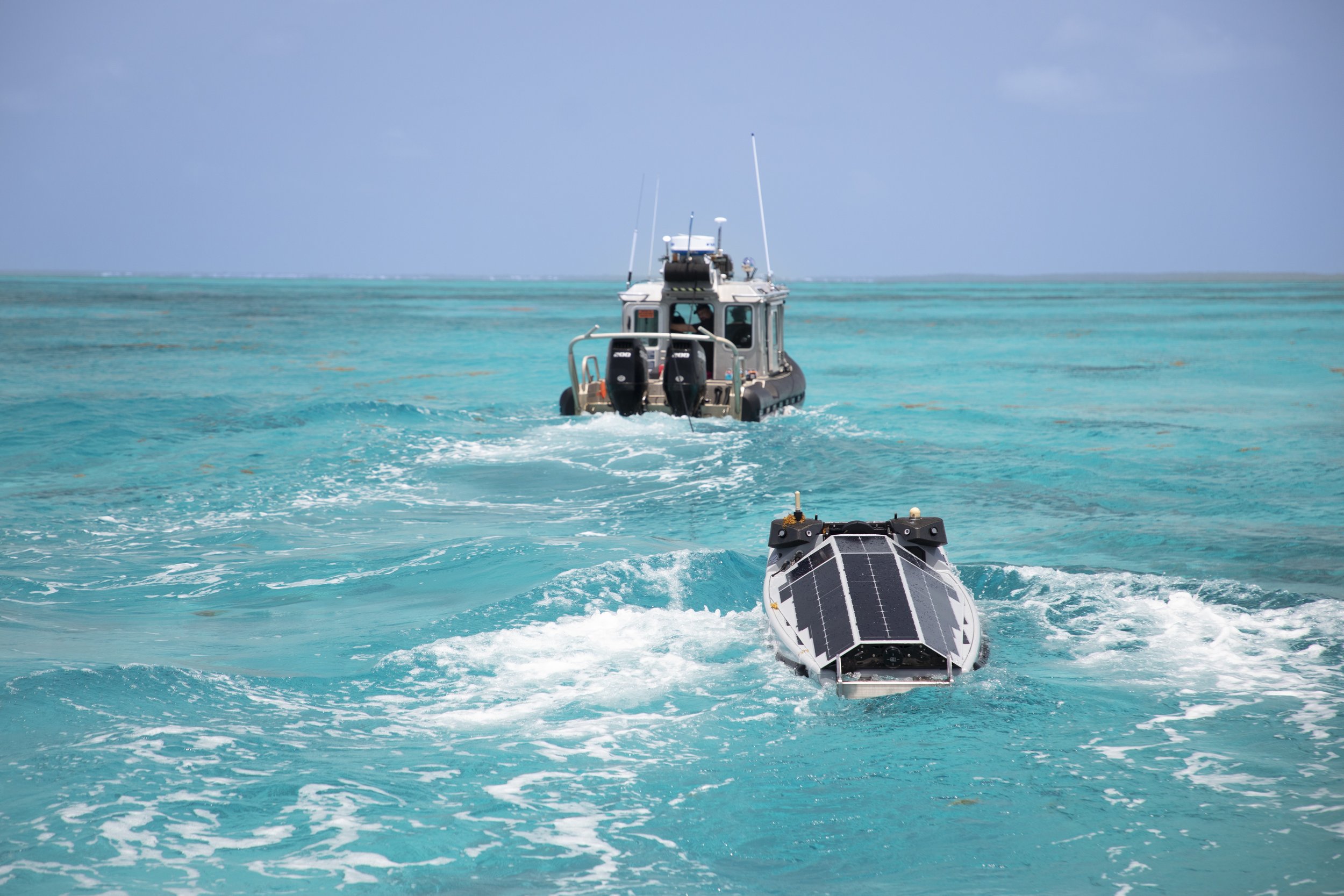
Deploy from ship, shore or aircraft to support remote or complex offshore site access.
Conduct pre- and post-lay surveys, touchdown monitoring and trench definition without the need to mobilize a standalone survey vessel.
A fraction of the cost of traditional survey inspection vessels, reducing cost, carbon footprint, and HSE exposure hours.
-
Access shallow water corridors not accessible by traditional inspection vehicles (<20m water depth)
Operates from both the surface and subsurface, providing superior seabed and asset data images to make better decisions.
Deploy from ship, shore or aircraft to support remote or complex offshore site access.
Conduct pre- and post-lay surveys, touchdown monitoring and trench definition without the need to mobilize a standalone survey vessel.
A fraction of the cost of traditional survey inspection vessels, reducing cost, carbon footprint, and HSE exposure hours.
Force multiplier effect with a fleet of Tritons working together for large sites to collect data faster.
-
Access shallow water corridors not accessible by traditional inspection vehicles (<20m water depth)
Operates from both the surface and subsurface, providing superior seabed and asset data images to make better decisions.
Deploy from ship, shore or aircraft to support remote or complex offshore site access.
Conduct pre- and post-lay surveys, touchdown monitoring and trench definition without the need to mobilize a standalone survey vessel.
A fraction of the cost of traditional survey inspection vessels, reducing cost, carbon footprint, and HSE exposure hours.
Force multiplier effect with a fleet of Tritons working together for large sites to collect data faster.